Serrig (en)
Because of its early thermal activity and geologic formation Serrig guarantees long XC flights
Site data
| Wind direction: | SW-W |
| Height difference: | 188m |
| Glider HG/GS: |

|
| Training: | yes |
| Takeoff | |
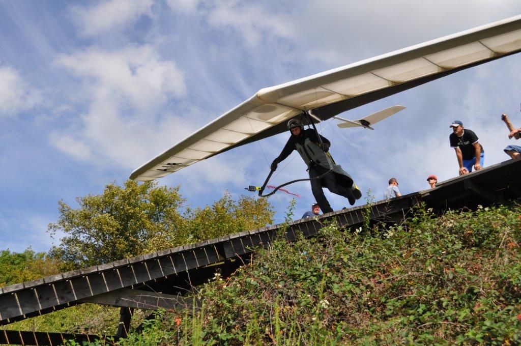
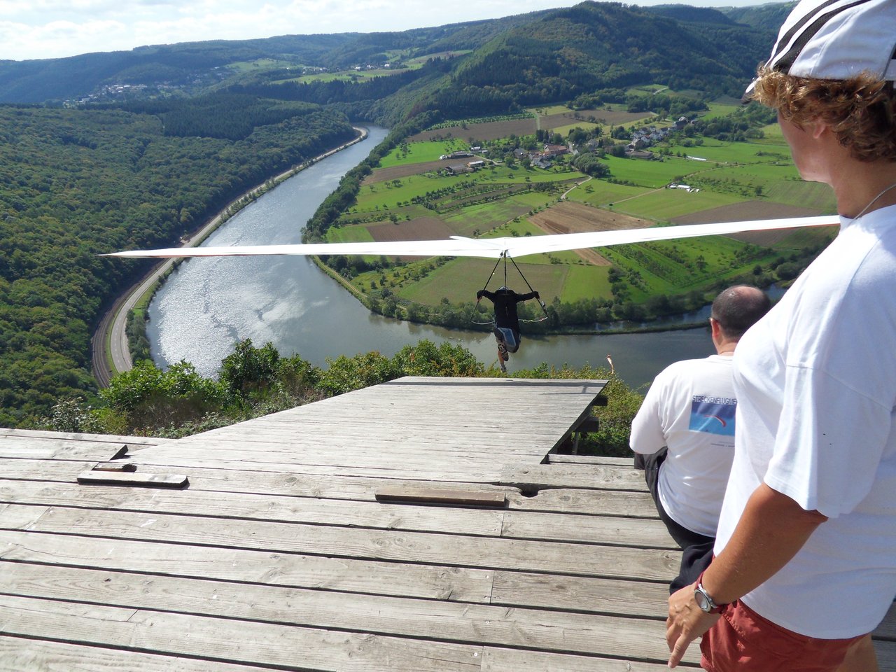
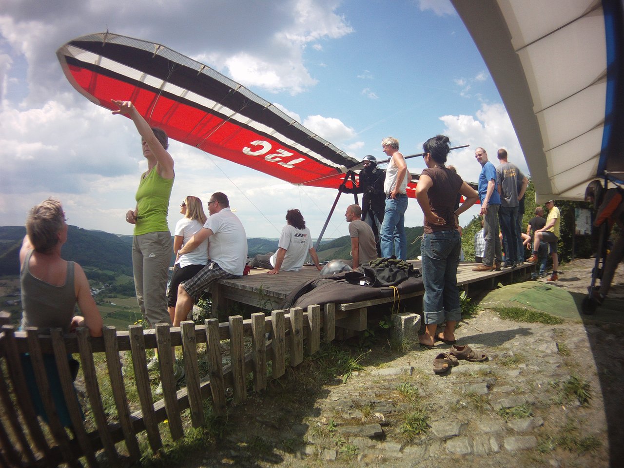
| Art: | Ramp takeoff. Lee rotors when south wind |
| Height NN: | 356m NN |
| GPS: | N49° 34′ 08.40″ E006°36′ 55.98″ |
| Landing | |
| Type: | Large meadow with fruit trees at the end. No final approach to lake direction. |
| Height NN: | 168m NN |
| GPS: | N49° 34′ 00.41″ E006° 36′ 17.59″ |
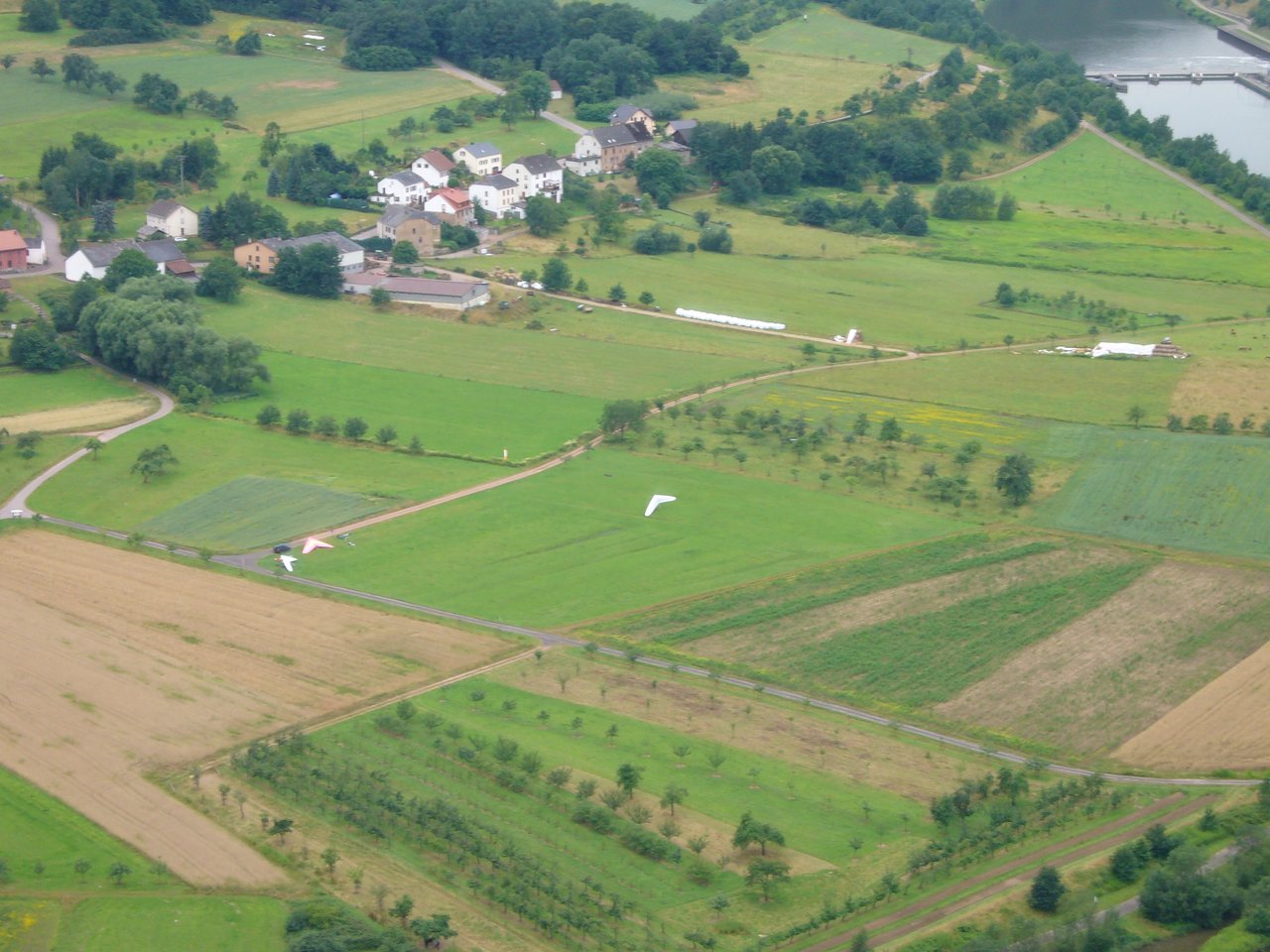
Site map
TakeoffShow takeoff
Ramp takeoff. Lee rotors when south wind.
LandingShow landing
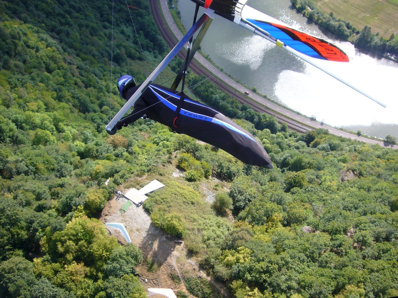
Large meadow with fruit trees at the end. No final approach to lake direction.Turbulences on landing site on days with strong thermals.
Glider breakdown:
Only use south east part of landing for glider breakdown. The other side is used for „emergency“ exit for landings at south wind.
Toplanding: SW-W toplanding is currently closed. Show toplanding

Weather/Webcams